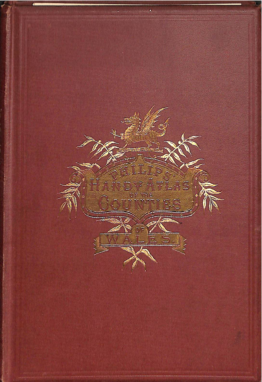
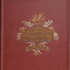
Philips Handy Atlas of the Counties of Wales c. 1882
€70.00
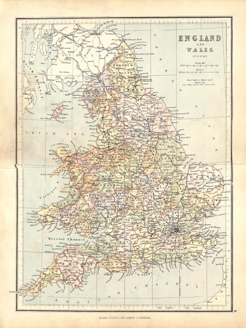
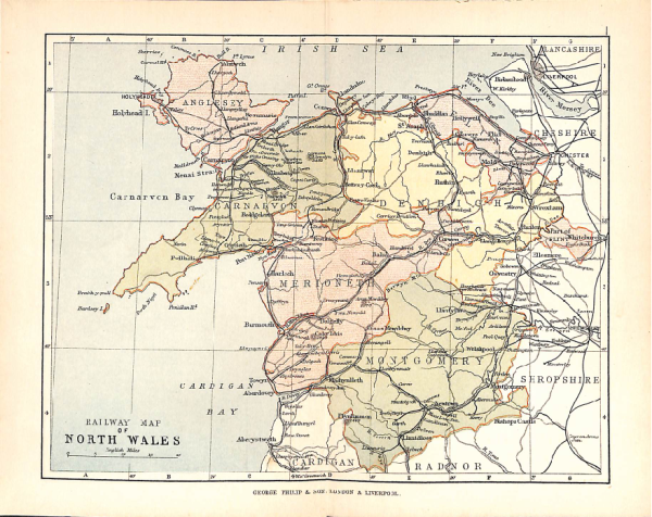
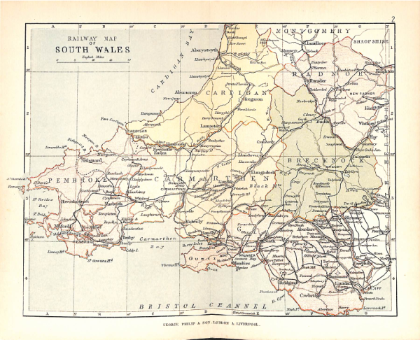
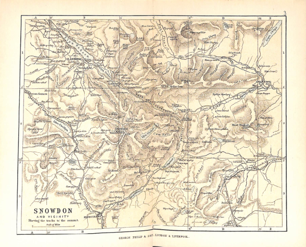
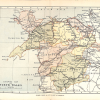
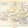
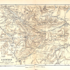
Published by George Philip & Son around 1882, this is a quintessential Victorian pocket guide featuring a series of 16 detailed, hand-colored maps of the Welsh counties.
-
Content: Includes all Welsh counties with a focus on the expanding railway networks and physical topography of the era.
-
Format: A compact, “handy” octavo volume paired with a comprehensive gazetteer and population statistics.
-
Historical Value: Highly regarded by collectors for its precise lithography and its snapshot of Wales during the peak of the Industrial Revolution.