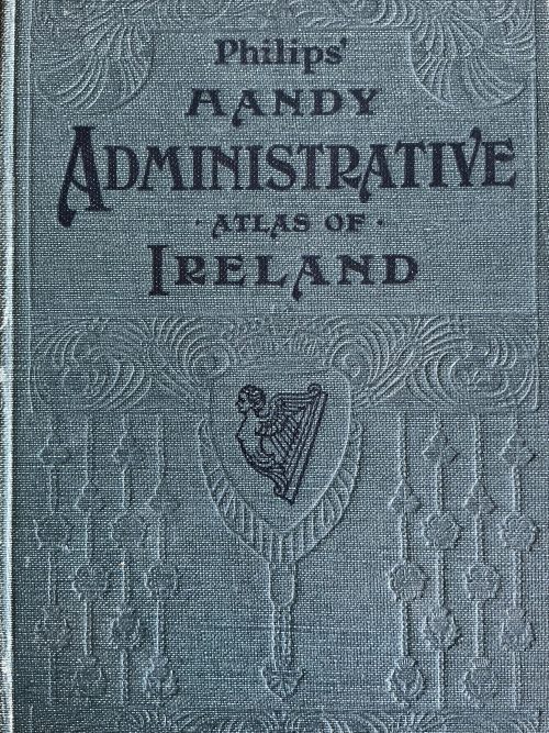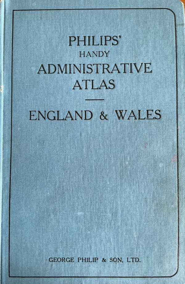
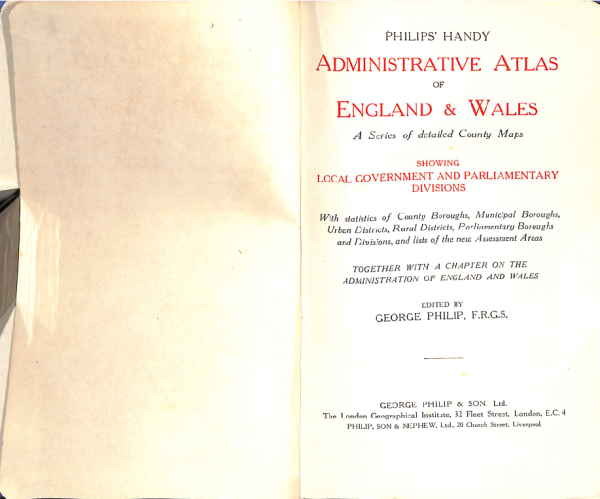
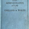
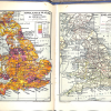
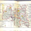
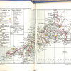
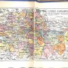
Philip’s Handy Administrative Atlas of England & Wales c. 1928
€45.00
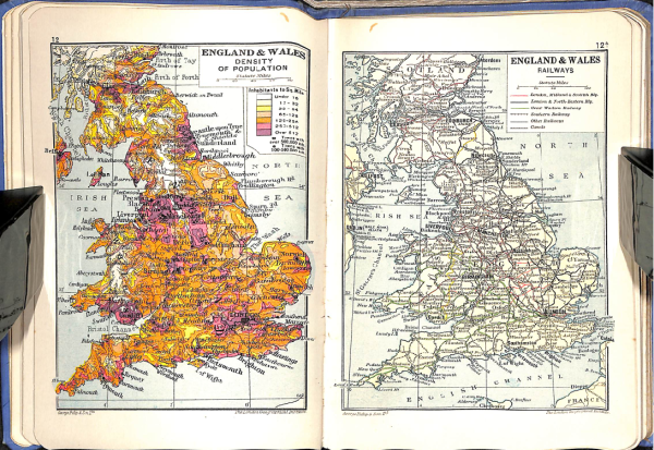
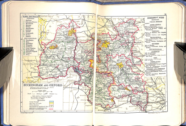
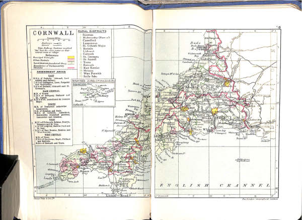
Published by George Philip & Son, this atlas was the go-to reference for understanding the complex legal and political jigsaw of the late 1920s.
-
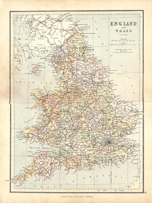
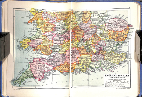
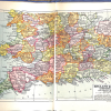
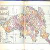
Administrative Focus: Unlike topographical maps, these are color-coded specifically to show County Boroughs, Municipal Boroughs, and Urban/Rural Districts.
-
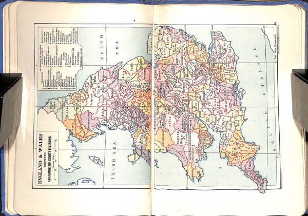
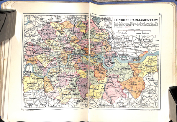
Parliamentary Mapping: Includes detailed inserts for Parliamentary Divisions, reflecting the representation changes of the early 20th century.
-
Data-Heavy Gazetteer: Features a massive index listing the population (based on the 1921 Census) and acreage for every administrative area in the country.
-
Format: Sturdy, small-octavo cloth binding, designed for the desks of civil servants, lawyers, and historians rather than the pocket of a hiker.
Historical Significance
This edition is a “time capsule” of the pre-1930s local government reforms. It captures the administrative map of England and Wales at its most intricate, just before many smaller districts were consolidated into the larger units we recognize today. It’s an essential tool for anyone tracing the history of local governance or genealogical records.