![Bartholomew’s Handy Touring Atl B.I. (1923) [Sample]_4 Bartholomew's Handy Touring Atlas of the British Isles c. 1923](https://mistward.com/wp-content/uploads/2026/05/Bartholomews-Handy-Touring-Atl-B.I.-1923-Sample_4.png)
![Bartholomew’s Handy Touring Atl B.I. (1923) [Sample]_7 Bartholomew's Handy Touring Atlas of the British Isles c. 1923](https://mistward.com/wp-content/uploads/2026/05/Bartholomews-Handy-Touring-Atl-B.I.-1923-Sample_7.png)
![Bartholomew’s Handy Touring Atl B.I. (1923) [Sample]_6 Bartholomew's Handy Touring Atlas of the British Isles c. 1923](https://mistward.com/wp-content/uploads/2026/05/Bartholomews-Handy-Touring-Atl-B.I.-1923-Sample_6.png)
![Bartholomew’s Handy Touring Atl B.I. (1923) [Sample]_5 Bartholomew's Handy Touring Atlas of the British Isles c. 1923](https://mistward.com/wp-content/uploads/2026/05/Bartholomews-Handy-Touring-Atl-B.I.-1923-Sample_5-600x449.png)
![Bartholomew’s Handy Touring Atl B.I. (1923) [Sample]_3 Bartholomew's Handy Touring Atlas of the British Isles c. 1923](https://mistward.com/wp-content/uploads/2026/05/Bartholomews-Handy-Touring-Atl-B.I.-1923-Sample_3-600x751.png)
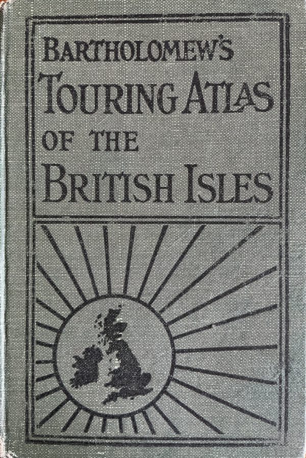
Bartholomew’s Handy Touring Atlas of the British Isles c. 1923
€30.00
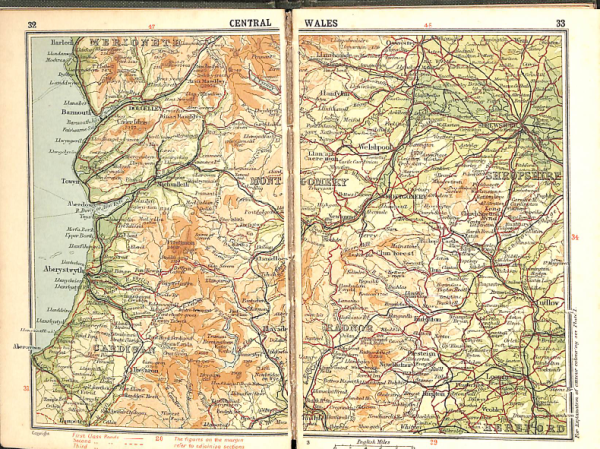
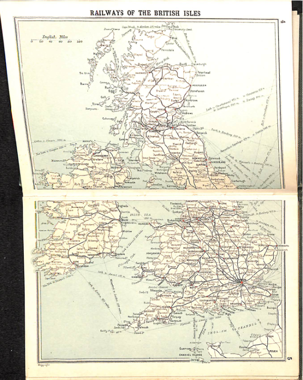
This atlas represents the “Golden Age” of British road touring, designed specifically for the burgeoning class of early 20th-century motorists.
-
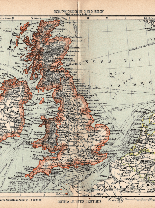
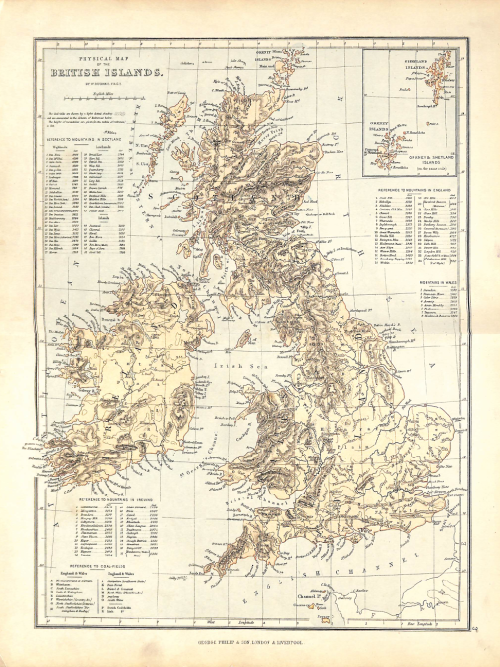
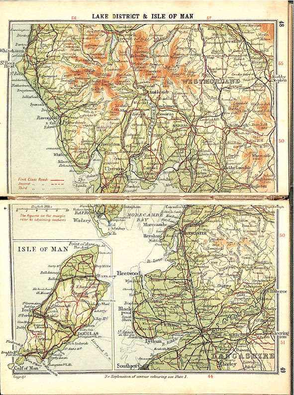
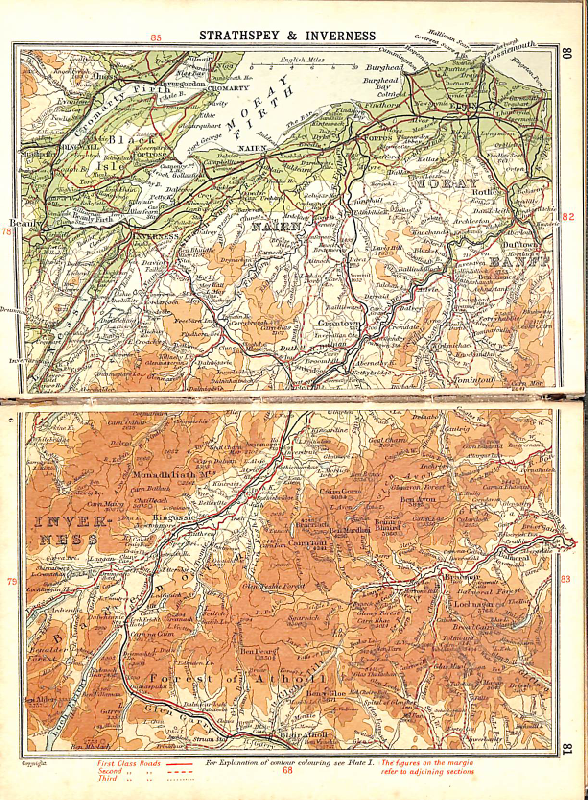
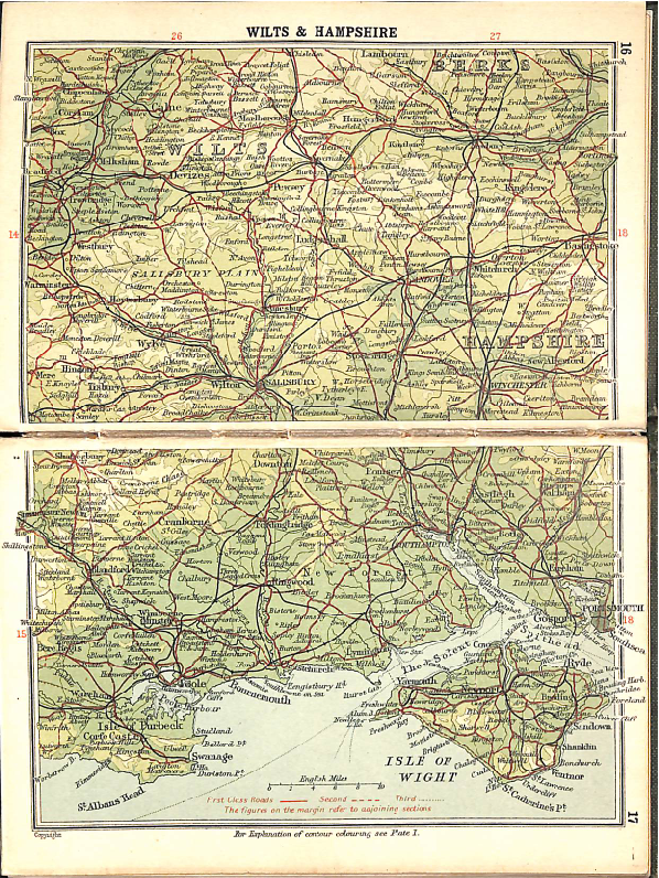
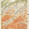
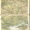
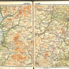
Cartography: Utilizes the famous Bartholomew “Layer” system (hypsometric tints), using color gradients to represent altitude and physical relief with exceptional clarity.
-
Motoring Focus: Unlike earlier rail-centric atlases, this edition emphasizes main touring roads, highlighting distances between towns and identifying steep gradients for early automobile engines.
-
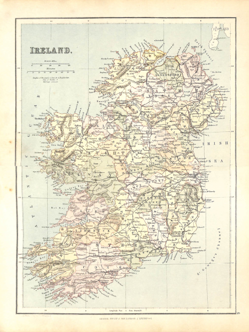
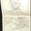
Scope: Provides comprehensive coverage of England, Wales, Scotland, and Ireland, including through-route maps for major cities.
-
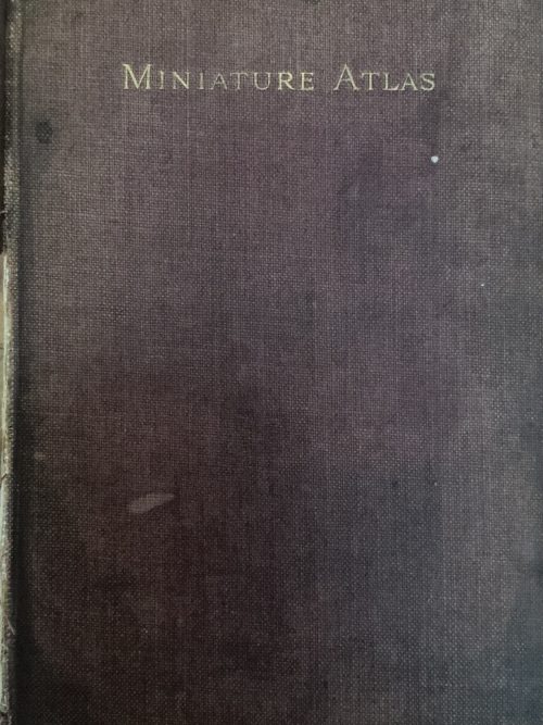
Format: A compact, pocket-sized volume bound in iconic red cloth, designed for easy reference in the cockpit of a vintage tourer.
Historical Significance
This 1923 edition is a fascinating snapshot of the British Isles in the immediate post-WWI era. It documents the landscape just before the massive expansion of the modern “A” and “B” road numbering system, capturing a time when long-distance driving was still considered a grand adventure.

![Bartholomew’s Handy Touring Atl B.I. (1923) [Sample]_4 Bartholomew's Handy Touring Atlas of the British Isles c. 1923](https://mistward.com/wp-content/uploads/2026/05/Bartholomews-Handy-Touring-Atl-B.I.-1923-Sample_4-100x100.png)
![Bartholomew’s Handy Touring Atl B.I. (1923) [Sample]_7 Bartholomew's Handy Touring Atlas of the British Isles c. 1923](https://mistward.com/wp-content/uploads/2026/05/Bartholomews-Handy-Touring-Atl-B.I.-1923-Sample_7-100x100.png)
![Bartholomew’s Handy Touring Atl B.I. (1923) [Sample]_6 Bartholomew's Handy Touring Atlas of the British Isles c. 1923](https://mistward.com/wp-content/uploads/2026/05/Bartholomews-Handy-Touring-Atl-B.I.-1923-Sample_6-100x100.png)
![Bartholomew’s Handy Touring Atl B.I. (1923) [Sample]_5 Bartholomew's Handy Touring Atlas of the British Isles c. 1923](https://mistward.com/wp-content/uploads/2026/05/Bartholomews-Handy-Touring-Atl-B.I.-1923-Sample_5-100x100.png)
![Bartholomew’s Handy Touring Atl B.I. (1923) [Sample]_3 Bartholomew's Handy Touring Atlas of the British Isles c. 1923](https://mistward.com/wp-content/uploads/2026/05/Bartholomews-Handy-Touring-Atl-B.I.-1923-Sample_3-100x100.png)