

The Pocket Atlas of Classical Geography c. 1887
€28.00
This charming Victorian volume was a staple of the “Collins Series of Atlases,” specifically designed as a portable reference for students and scholars of antiquity. It represents the high standard of educational cartography produced by William Collins, Sons, & Co., Limited during the late 19th century.
Technical Specifications
-
Cartographer: Engraved by the eminent Edward Weller, F.R.G.S., whose plates were celebrated for their legibility and precision.
-
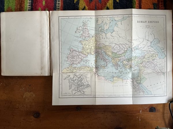
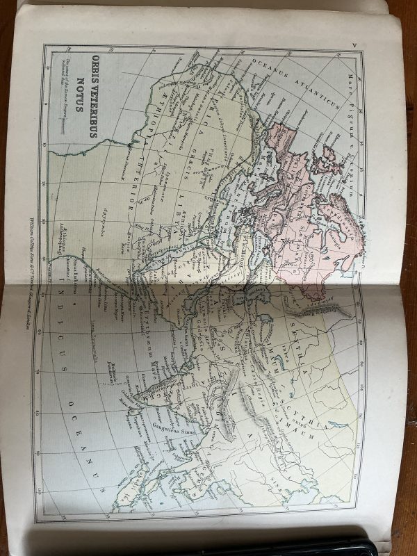
Contents: Features 15 color-lithographed maps (most double-paged, some fold out). The collection spans the ancient world, including Aegyptus, Graecia, Italia, and the Imperium Romanum.
-
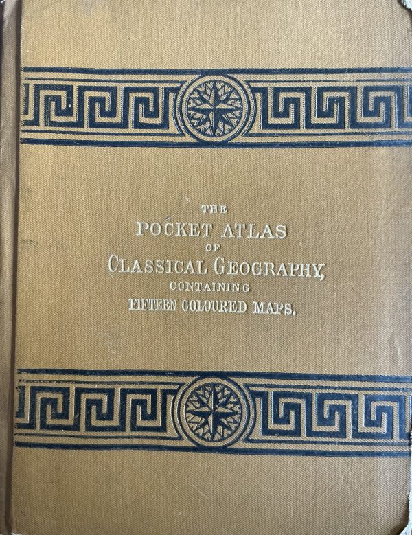
Physical Description: Bound in its original ochre/orangey-brown cloth. The cover is highly stylized with gilt-stamped titles flanked by traditional Greek Meander (Greek Key) borders and a central compass rose.
-
Imprint: London, Glasgow, and Edinburgh; William Collins, Sons, & Co., Limited.
Collector’s Note
This edition is a “Limited” imprint, dating it to the decade following the company’s 1880 incorporation. It is particularly desirable for its thematic binding—the orange-tan hue and Greek Key motif were intentionally chosen to distinguish the “Classical” series from the “Modern” (blue) and “Physical” (green) versions.
Historical Significance
As a “Pocket” edition, it lacks the dense descriptive text of larger versions, focusing instead on pure cartography. It captures the late-Victorian educational ideal, providing a visual guide for the study of classical literature and history in a format that could easily fit into a student’s satchel. The maps remain vivid, showing the ancient world through the lens of 19th-century scholarship.